Everyone loves clouds. Those soft, fluffy puffs that drift lazily by are great to look at and get lost in. Of course, some are a bit more dramatic. Some are downright ominous. Here are some of the craziest cloud formations out there. And yes, they’re all real!
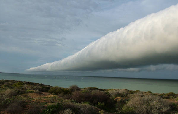
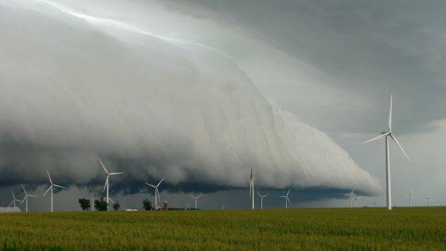
1. Arcus clouds come in the shelf or roll variety, and are long, horizontal formations. Shelf clouds are shaped like wedges and roll clouds are shaped like tubes. Both are associated with atmospheric change, but shelf clouds usually bring a thunderstorm, and roll clouds typically result in a cold breeze.
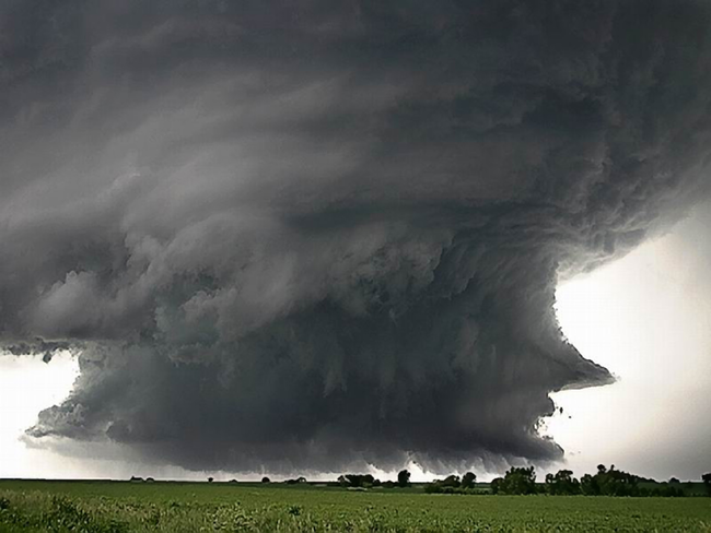
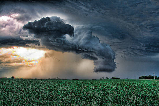
2. Wall clouds are arcus clouds’ more threatening cousins, and are usually seen before tornadoes. These happen when clouds drop rapidly toward the earth, and the temperature change brings about violent storms. They look like shelf clouds, but are more localized and are attached to a cumulonimbus cloud.
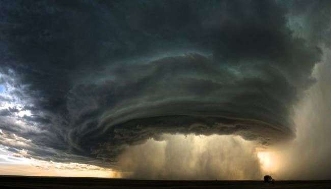
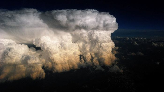
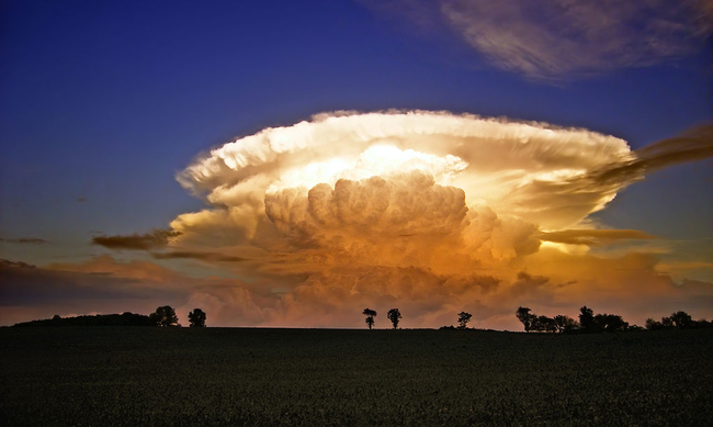
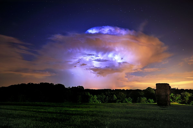
3. Cumulonimbus clouds are massive formations towering high into the sky, thanks to strong updrafts carrying water vapor. These clouds appear singularly or in clusters. They can produce lightning, hail, and sometimes tornadoes.
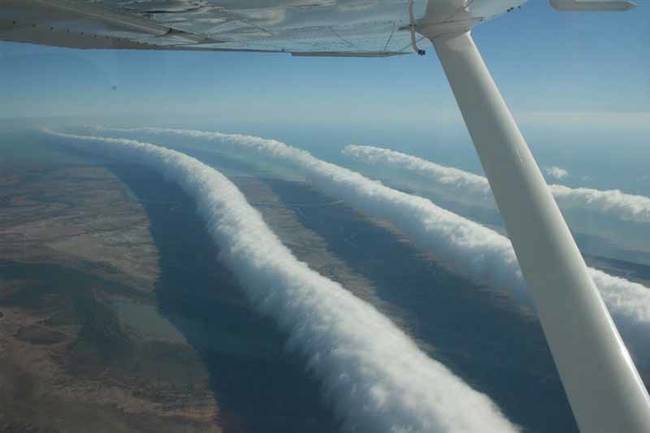
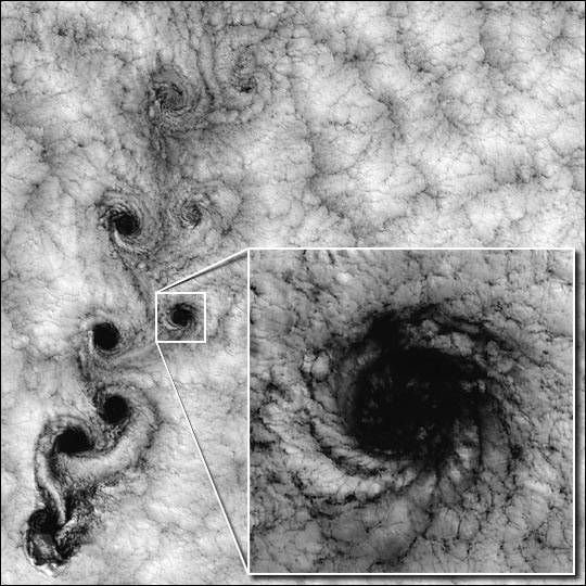
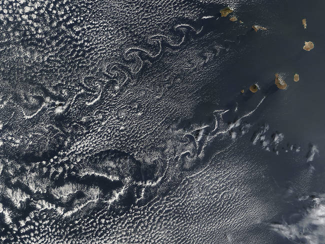
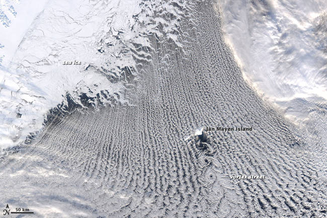
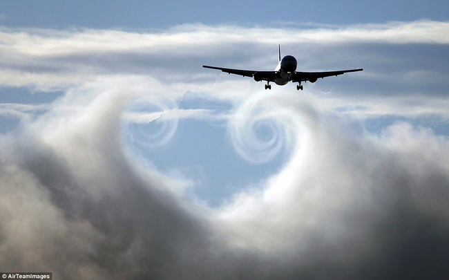
4. Vortex clouds are thought of as vertical, such as in hurricanes and tornadoes, but they can form horizontally as well. When currents of air encounter an obstruction, they can cause spiral formations in the cloud cover. This creates a horizontal roll vortex, or “cloud street.” These are easily viewed from above by plane or satellite. However, since they’re difficult to detect from the ground, information on their development is spotty.
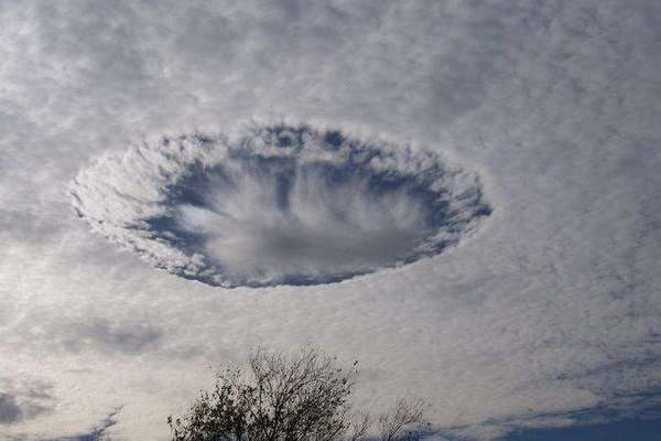
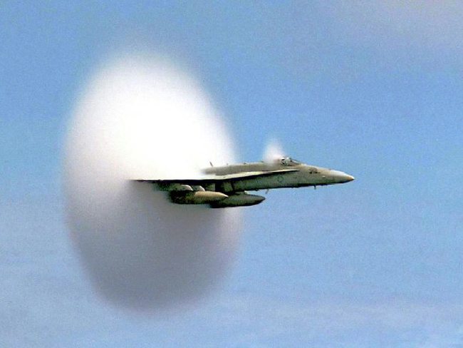
5. Humans sometimes make cloud formations without realizing it. High-flying military planes and low-flying commercial planes cause disturbances in clouds. By doing so, they create their own formations. These aren’t “real” cloud formations, of course, but they look pretty cool!
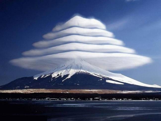
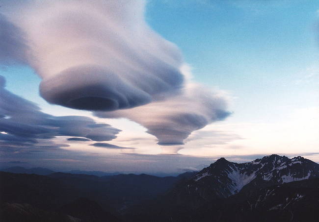
6. Lenticular clouds form when water droplets encounter wind displaced by an object, such as a mountain or building. They are smooth, stationary clouds with a lens or saucer shape, and they’re also the explanation for UFO sightings for many years. They’re associated with turbulence, so planes avoid them, but gliders love them.
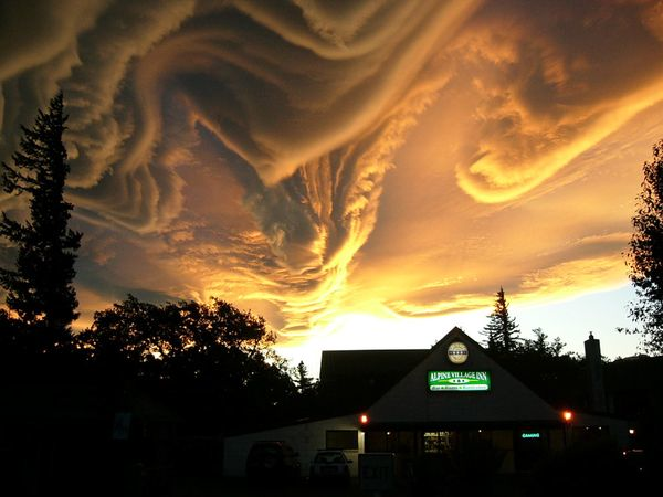
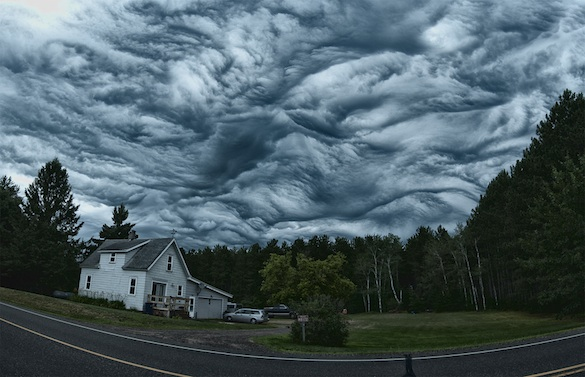
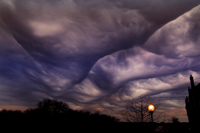
7. Undulatus asperatus was proposed as its own cloud type to the Cloud Appreciation Society (yes, it exists) in 2009. If it passes muster, it will be the first new cloud classification since 1951. The name means “roughened or agitated waves,” and these formations are best seen in the Plains states of the U.S. They usually come in the morning before a thunderstorm.
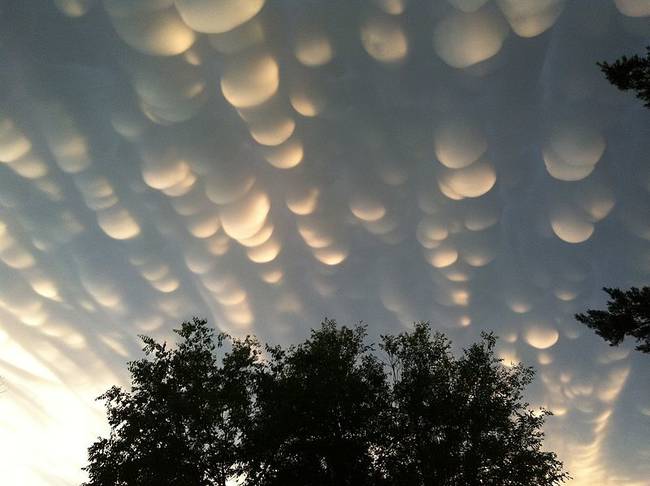
8. Mammatus clouds are bubbly-looking clouds that usually herald extreme weather; think of them like a boiling sky. The formations can stretch out for hundreds of miles in each direction. While they have a liquid look to them, they’re usually composed of ice. Fun fact: the name “mammatus” comes from the Latin mamma, meaning “udder” or “breast.” So yes, these are boob clouds.
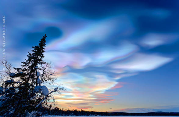
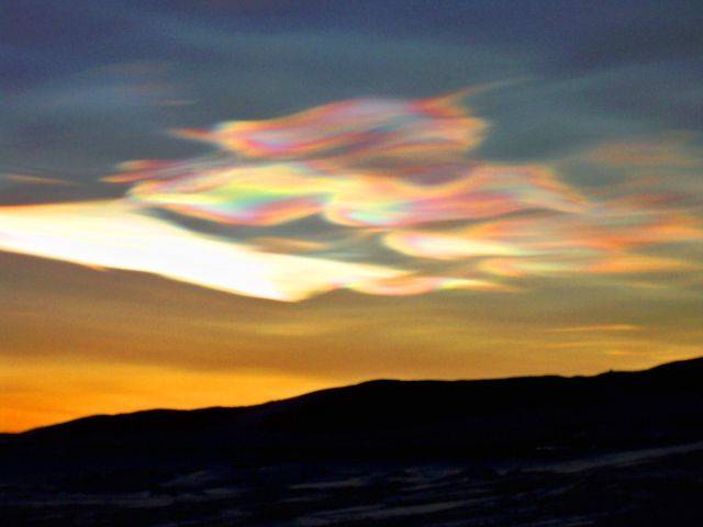
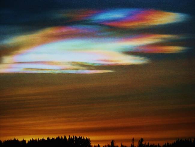
9. Nacreous clouds are also known as polar stratospheric clouds. These thin, high clouds catch and refract the dusk and dawn light, appearing iridescent. This iridescence can happen to any cloud, but due to the conditions in polar regions, they’re most commonly seen here. Some of these clouds contain nitric and/or sulfuric acid, which produce chlorine and may contribute to ozone depletion.
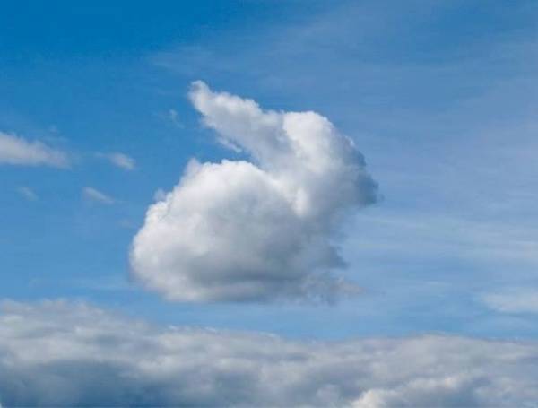
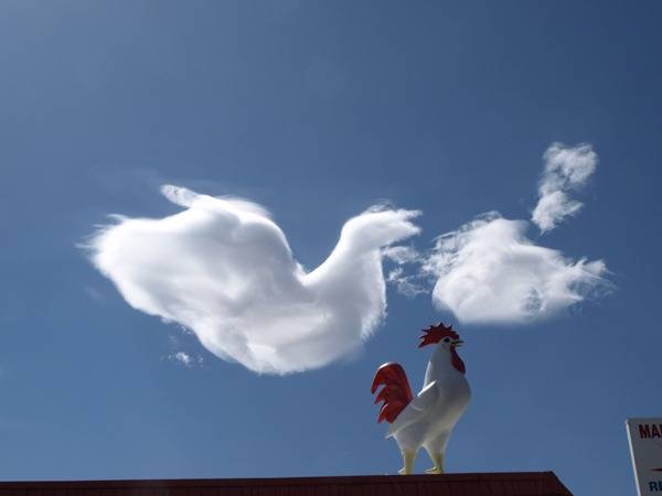
10. Clouds that look like other objects are everyone’s favorite kind of cloud. Constantly moving, clouds are perfect for staring at all afternoon and picking out things that look like faces, animals and more. This pastime is thousands of years old, and today, we can capture our cloud projections on camera. Here are a few:
Some of these might warn of dangerous weather, but they’re so cool that they almost make up for it. Almost. Now I’m in the mood to go lie in a field and see how many animals I can find in the sky.
